Company Name
Denada Surveys


Denada Surveys
Engineering Surveys, Mine Surveying, Construction Surveying, Land Development Surveying, Spatial and Geospatial Services, High-Volume Data Acquisition, Structural and Mechanical Surveying, 3D Laser Scanning, UAV and Photogrammetry Services, Point Cloud Capture and Modelling, Mapping and Design, As-Constructed Surveys, Construction Set-Out, Monitoring Surveys, Volumetric Surveys and Calculations
08 9344 8885
8am - 5pm Monday to Friday
Since 2007, Denada Surveys has grown from a specialist surveying business into an established Australian provider of surveying and geospatial solutions, supporting projects across construction, infrastructure, mining and land development.
With operations across Western Australia and Queensland, Denada brings together experienced survey professionals, advanced technology and extensive project experience to deliver accurate spatial information from the design office through to the ground.
The team works across the project lifecycle, providing clients with the surveying expertise, spatial information and on-site support required to make informed decisions and keep complex projects moving.
Denada's capabilities span traditional surveying through to advanced spatial and geospatial solutions.
Services include:
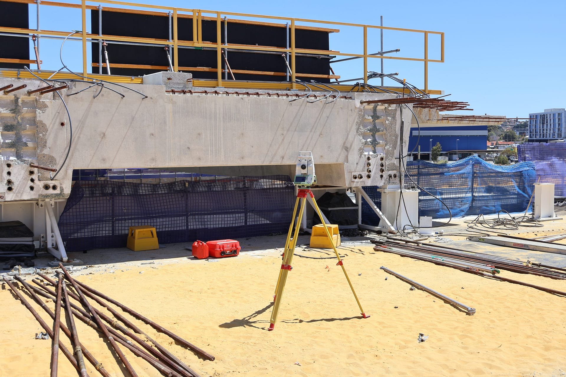
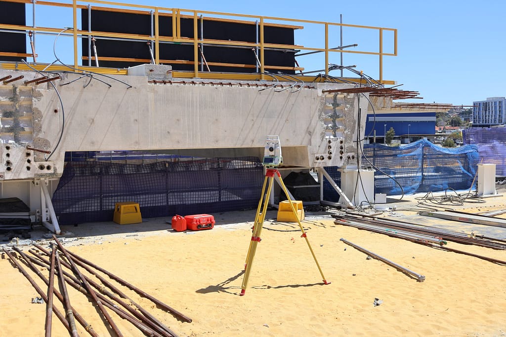
The team's technology capabilities include 3D laser scanning, UAVs, photogrammetry, point cloud capture and modelling, alongside established surveying techniques and equipment.
This allows Denada to support a wide range of project requirements, from detailed surveys, construction set-out and as-constructed reporting through to volumetric calculations, spatial data acquisition, clash analysis and complex mine surveying.
Denada has delivered more than 5,000 projects and over 1.5 million hours of geospatial work across Australia.
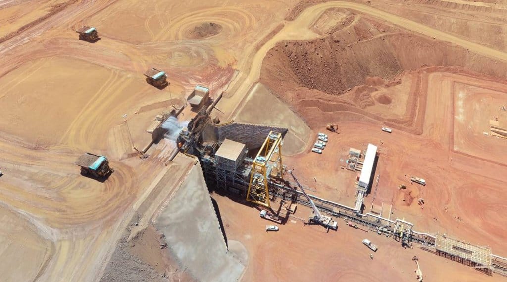
Its experience extends across major transport infrastructure, civil construction and mining projects, working with and alongside some of Australia's leading organisations.
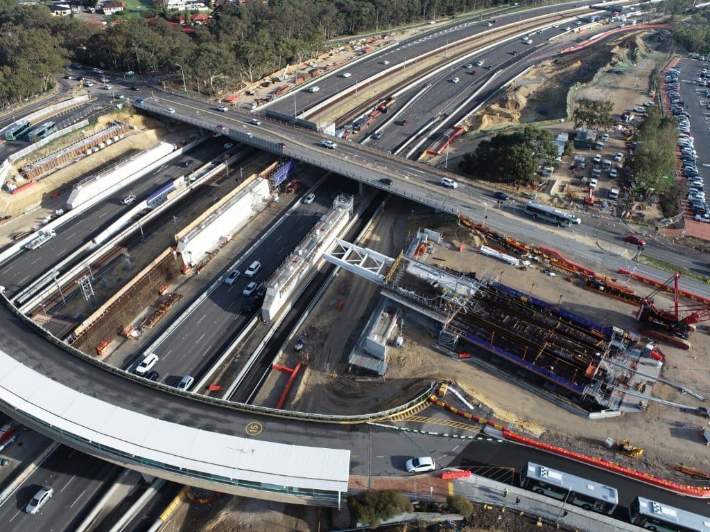
Projects featured by Denada include the Stephenson Avenue Extension, Victoria Park Level Crossing Removal, Western Turner Syncline 2, RTA Weipa, Bayswater Station Upgrade and rehabilitation works at the Argyle Diamond Mine.
This breadth of experience gives the team an understanding of the technical, operational and safety requirements involved in delivering surveying and spatial services within complex project environments.
Denada's approach extends beyond delivering accurate survey data. The business works collaboratively with clients and project teams to understand what is required at each stage and provide surveying and spatial solutions that support the wider project.
Experienced people, technical capability and continued investment in surveying and spatial technology underpin this approach.
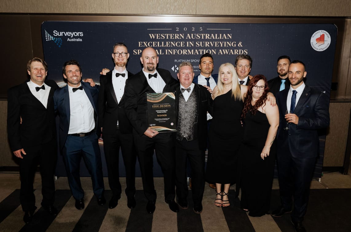
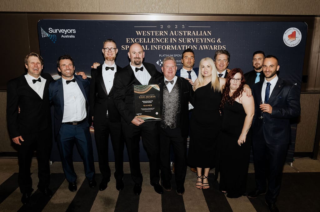
In 2025, Denada received industry recognition at the EISSI Awards, including Western Australia Professional Organisation of the Year – Large Firm, the Infrastructure & Construction Award and the Ferdinand George Medcalf Award for its work on the Victoria Park to Canning Level Crossing Removal Project.
With capability spanning conventional surveying through to advanced geospatial technologies, Denada continues to support projects across Australia with a focus on accuracy, collaboration and practical project outcomes.
unit 1/70 Albert Street, Osborne Park WA 6017, Australia
8am - 5pm Monday to Friday
unit 1/70 Albert Street, Osborne Park WA 6017, Australia